Lifestyle
University of Calgary Professor Wins Award for 3D Mapping Innovation
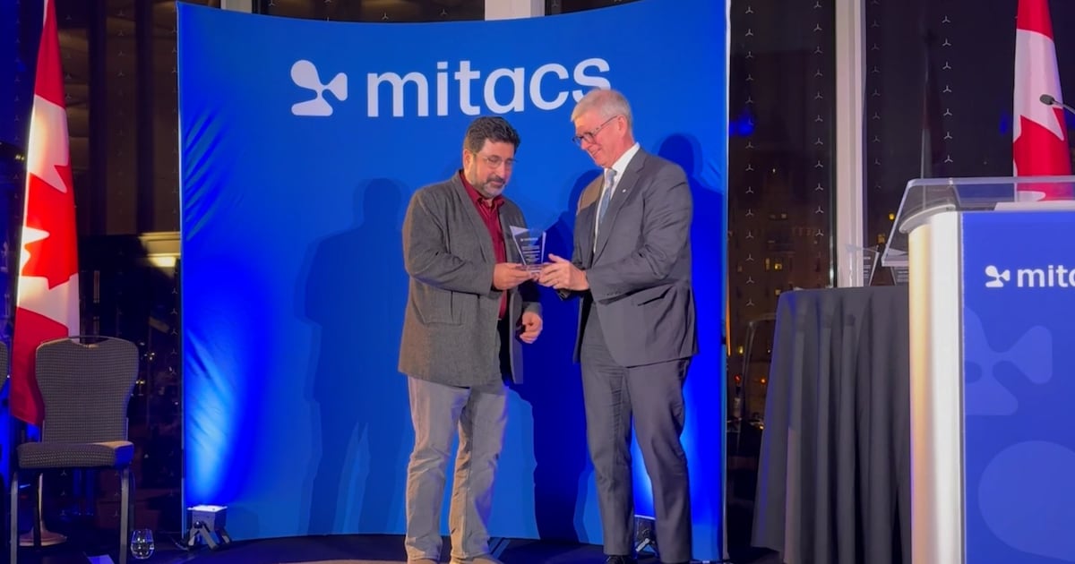
A professor from the University of Calgary has received significant recognition for his innovative work in 3D digital mapping. Faramarz Samavati was awarded the Mitacs Innovation Award for Outstanding Research Leadership for his development of a groundbreaking 3D digital mapping system, a project he has dedicated the past 15 years to advancing.
In a statement, Samavati expressed his gratitude, stating, “It is a great honor to receive that, and also I am proud of the team that I have built and the mentorship and supervision of many graduate students and interns because this innovation is kind of a collective achievement.” His work addresses fundamental issues in digital mapping, which often relies on a “flat Earth” model that distorts geographical representations.
According to Samavati, current digital mapping applications frequently misrepresent sizes of continents, leading to misconceptions about their true dimensions. He noted, “Digital maps like Google Maps always have distortions. For example, Greenland on the map looks much bigger than Brazil, but in reality, it is smaller.” By utilizing a 3D approach, his team aims to accurately depict geographical features.
In collaboration with Calgary-based software company Vivid Theory, Samavati and his graduate students developed a Discrete Global Grid System (DGGS). This system functions like a large quilt draped over the globe, segmenting the Earth’s surface into small, manageable cells. Each cell is assigned a unique code, akin to a postal code, which facilitates efficient information storage and retrieval.
Samavati elaborated on the system’s potential applications, stating, “We can create a much more efficient system for processing a lot of data related to Earth, because this distortion needs to be handled somehow.” He emphasized that his system is designed to accommodate the Earth’s curvature, thereby providing enhanced accuracy.
Graduate student Lakin Wecker explained the technical challenges associated with the DGGS’s rapid data processing capabilities. He noted that while many DGGSs prioritize accuracy, they often compromise on speed. Wecker’s role involves optimizing data access times, measuring performance in nanoseconds—where one second equals one billion nanoseconds. “Although that seems like a pointless endeavor for most people, the size of data that humanity is producing about the Earth is so large that we have billions and trillions of records,” he said. “If you save that extra few nanoseconds per record and you do it 300 billion times, now it’s actually a realistic savings.”
Samavati’s partnership with BigGeo, a Calgary-based startup focused on location-based data, further amplifies the impact of his work. The company is developing the Spatial Cloud, a secure cloud computing system designed for handling spatial data. Brent Lane, CEO of BigGeo, highlighted the importance of spatial data, stating, “Spatial data represents 80 percent of all the data that exists on Earth, and so it’s become a major part of the future of AI.”
Lane added that AI can leverage Samavati’s 3D mapping system to provide users with quick and accurate information, enhancing everyday applications. “If you’re using your ChatGPT interface, you could use our connected technology to answer questions about what’s the best place to pick up your laundry on the way home from your kid’s soccer practice,” he explained.
The Mitacs Innovation Award for Outstanding Research Leadership is presented to post-secondary supervisors with exemplary records in fostering collaboration between academia and industry. This initiative is supported by funding from the Government of Canada and various provincial and territorial governments.
Looking ahead, Samavati envisions his 3D mapping system evolving into a comprehensive digital twin of the Earth. He stated, “My vision is to have a living digital twin of the Earth, with which we can understand our planet in a better, totally different way and build tools for occurrences that you can’t always understand.” Such advancements could be pivotal in predicting natural disasters and enhancing overall global understanding.
For more information about BigGeo, visit their website at https://biggeo.com/.

Nova Scotia Entrepreneur Brings Authentic Mauritian Flavors to Life

Saint John City Market Gears Up for 150th Anniversary Celebration

Afghan Community in Saskatoon Urges Ottawa to Expedite Immigration

AI Emerges as Major Cybersecurity Threat Ahead of 2026

Ontario Invests $25,000 in Windsor Mental Health Police Teams

Evercore Raises Apple Price Target to $325, Driven by AI Expectations

Community Mourns the Loss of Beloved Joyce Lois Booth

Students Confront Six-Hour Challenge at Putnam Math Competition

Hartford High Yield Fund Surpasses Index Amid Economic Challenges

Community Mourns the Passing of Joyce Lois Booth, 98

Brandon University’s Failed $5 Million Project Sparks Oversight Review

Microsoft Confirms U.S. Law Overrules Canadian Data Sovereignty

Winnipeg Celebrates Culinary Creativity During Le Burger Week 2025

Montreal’s Groupe Marcelle Leads Canadian Cosmetic Industry Growth
Tech Innovator Amandipp Singh Transforms Hiring for Disabled

Dragon Ball: Sparking! Zero Launching on Switch and Switch 2 This November

Red River College Launches New Programs to Address Industry Needs
Google Pixel 10 Pro Fold Specs Unveiled Ahead of Launch

Rocket Lab Reports Strong Q2 2025 Revenue Growth and Future Plans

Discord Faces Serious Security Breach Affecting Millions
-
 Education3 months ago
Brandon University’s Failed $5 Million Project Sparks Oversight Review
-
 Science4 months ago
Microsoft Confirms U.S. Law Overrules Canadian Data Sovereignty
-
 Lifestyle3 months ago
Winnipeg Celebrates Culinary Creativity During Le Burger Week 2025
-
 Health4 months ago
Montreal’s Groupe Marcelle Leads Canadian Cosmetic Industry Growth
-

 Science4 months ago
Tech Innovator Amandipp Singh Transforms Hiring for Disabled
-
 Technology4 months ago
Dragon Ball: Sparking! Zero Launching on Switch and Switch 2 This November
-
 Education4 months ago
Red River College Launches New Programs to Address Industry Needs
-

 Technology4 months ago
Google Pixel 10 Pro Fold Specs Unveiled Ahead of Launch
-
 Business3 months ago
Rocket Lab Reports Strong Q2 2025 Revenue Growth and Future Plans
-
 Technology2 months ago
Discord Faces Serious Security Breach Affecting Millions
-

 Education4 months ago
Alberta Teachers’ Strike: Potential Impacts on Students and Families
-

 Science4 months ago
China’s Wukong Spacesuit Sets New Standard for AI in Space
-

 Education3 months ago
New SĆIȺNEW̱ SṮEȽIṮḴEȽ Elementary Opens in Langford for 2025/2026 Year
-

 Technology4 months ago
World of Warcraft Players Buzz Over 19-Quest Bee Challenge
-

 Business4 months ago
New Estimates Reveal ChatGPT-5 Energy Use Could Soar
-

 Business4 months ago
Dawson City Residents Rally Around Buy Canadian Movement
-

 Business4 months ago
BNA Brewing to Open New Bowling Alley in Downtown Penticton
-

 Technology2 months ago
Huawei MatePad 12X Redefines Tablet Experience for Professionals
-

 Technology4 months ago
Future Entertainment Launches DDoD with Gameplay Trailer Showcase
-

 Technology4 months ago
Global Launch of Ragnarok M: Classic Set for September 3, 2025
-

 Technology4 months ago
Innovative 140W GaN Travel Adapter Combines Power and Convenience
-

 Top Stories3 months ago
Blue Jays Shift José Berríos to Bullpen Ahead of Playoffs
-

 Science4 months ago
Xi Labs Innovates with New AI Operating System Set for 2025 Launch
-

 Technology4 months ago
New IDR01 Smart Ring Offers Advanced Sports Tracking for $169